 OSU Pytheas - Data Catalog
Geoscientific information
Type of resources
Available actions
Topics
INSPIRE themes
Keywords
Contact for the resource
Provided by
Years
Formats
Representation types
Update frequencies
status
Scale
-
Le projet interdisciplinaire UECOCOT vise à développer des outils d'aide à la gestion durable des activités minières afin de permettre la meilleure cohabitation possible entre dynamique naturelle des environnements (et leur capacité de résistance aux dommages et de résilience) et les activités humaines (industrielles ou non). L'objectif global du projet est de répondre à la question " comment adapter , à un coût socio-économique acceptable, les activités minières pour que leur impact reste compatible avec la durabilité des écosystèmes côtiers et littoraux". Pour atteindre un tel objectif, le projet UECOCOT repose sur une approche multi-sites ayant des impacts miniers différents. Dans le Pacifique sud, le site choisi est le lagon de Koné (Nouvelle-Calédonie) à proximité duquel s'est implanté une mine de nickel et touché par des apports de particules riches en éléments métalliques (Ni, Cr, Co, Mn) issues de l'altération des massifs miniers latéritiques développés sur des péridotites. C'est dans ce cadre qu'a eu lieu en février 2018 une campagnes océanographique multidisciplinaire dans le lagon de Koné dont l'objectif était d'acquérir des informations sur : i) les flux hydrodynamiques et biogéochimiques entre la côte, le lagon et l'océan et les connectivités au sein même du lagon, ii) l'état écologique du lagon et son fonctionnement End to End (hydro-bio-géochimique) , iii) les apports miniers directs ou indirects (avec un focus sur les métaux) et leur impact sur le fonctionnement biogéochimique. L'ensemble des résultats acquis doit permettre de valider un modèle numérique de biologie intégrant les aspects physiologiques et comportementaux des organismes (plancton et benthos) liés à la contamination du milieu et à la circulation hydrodynamique au sein du lagon. Il doit en particulier aboutir à une meilleure compréhension du rôle de la barrière récifale sur la régulation hydrodynamique et ainsi permettre d'affiner les prévisions en terme de contamination du lagon suite à une modification de la structure récifale sous l'effet conjugué de contraintes anthropiques et climatiques. Ce projet s'inscrit dans le réseau international AMEDEE (Activité Minière, Environnement, Développement Economique, Ethiques) qui regroupe les programmes de R&D de 40 institutions scientifiques (Colin, 2016)
-

Review of soil physico-chemical variations between conventional and conservation agriculture in Mediterranean basin.
-

Compilation of the post glacial RSL changes along the western mediterranean basin.
-
Agroecological results
-

This database is a compilation of published data from multiple publications dealing with seismotectonic studies of potentially active structures in Southeast France.
-
The Velingara dataset gathers geophysical and zircon data acquired in the Velingara circular depression (Senegal). In March 2022, a field campaign was performed in this depression, since it is thought to be an impact structure. Magnetic and gravity field observations were done, as well as sampling. Several zircon grains of sample VEL29A were analysed by LA-ICP-MS, given an age of 550 Ma.
-
The Rochelec dataset gathers petrophysical and geoelectrical data from the Rochechouart impact structure (France). Since 2017, about 10 geophysical field campaigns were performed on this eroded structure. Among other techniques, geophysical downhole logging, electrical resistivity tomography and controlled-source audiomagnetotelluric data were acquired. In parallel, we measured the electrical resistivity and porosity of some core samples coming from drillings performed in fall 2017 at several sites of the impact structure. These multiscale electric data allows to better characterize the different lithologies outside the drilling sites, and their associated geometry. * Citation of this dataset Quesnel, Y., Sailhac, P., Lofi, J., Lambert, P., Rochette, P., Uehara, M. & Camerlynck, C. (2021). RochElec : Geoelectrical investigations on the Rochechouart impact structure (France) [Data set]. CEREGE UMR 7330 CNRS. https://doi.org/10.34930/BE0549D1-E876-49C5-B07F-BF04D398B25E * Publications linked with the dataset: Quesnel, Y., Sailhac, P., Lofi, J., Lambert, P., Rochette, P., Uehara, M. & Camerlynck, C. (2021). Rochechouart impact structure, France. Geochemistry, Geophysics, Geosystems, 22, e2021GC010036, https://doi.org/10.1029/2021GC010036
-

What drives phytoplankton diversity at fine scales? Phytoplankton diversity is a key component in ocean biogeochemical services and contributes to the resilience and health of ocean ecosystems in respect to local and global stressors, including climate change. Understanding the mechanisms behind phytoplankton diversity in the open ocean is a matter of concern, especially in these years in which large Marine Protected Areas are created in international waters and an international legally binding treaty on Marine Biodiversity Beyond National Jurisdiction is under negotiation. Model studies suggest that finescale ocean dynamics are an important driver of plankton diversity and several scenarios have been suggested. In situ observations however are difficult to perform, due to the ephemeral nature of finescale features and the difficulty of tracking them from available remote sensing. This observational limit will be largely reduced by the SWOT mission, in particular during the fast sampling phase, opening new possibilities to biophysical experiments in the open ocean. The BIOSWOT-Med campaign aims at exploiting SWOT observations for unveiling the drivers of phytoplankton diversity in the Western Mediterranean. The western Mediterranean Sea is characterized by high plankton diversity, low nutrient concentration, and weak oceanic circulation. Here, finescale features, even if weak and short-lived, can strongly modulate the microbial community structure. To study the finescale biophysical coupling, and its impact of phytoplankton diversity, the BIOSWOT-Med campaign will follow the temporal evolution of eddies and filaments over the western Mediterranean SWOT crossover. The physical-biochemical coupling at the frontal zone between Atlantic Water recently entered in the Mediterranean basin and modified Atlantic Water coming from cyclonic circulation in the western Mediterranean basin will be studied through an adaptive Lagrangian sampling strategy using the software SPASSO (Software Package for an Adaptive Satellite-based Sampling for Oceanographic cruises) developed in previous research cruises. This physical information will be paired by a multi-sensor characterization of the planktonic community, including advanced molecular (meta-transcriptomics, metagenomics and meta-barcoding) techniques, and the use of autonomous and robotic platforms. Institutes involved in the campaign: AMU, LOCEAN, CEA, CNR, CNRS, CSIC, Fisheries and Ocean Canada, IFREMER, IRD, MBARI, NWRA, OGS, SHOM, Sorbonne Université, SZN, UCSD, ULCO, University of Exeter, University of Washington.
-
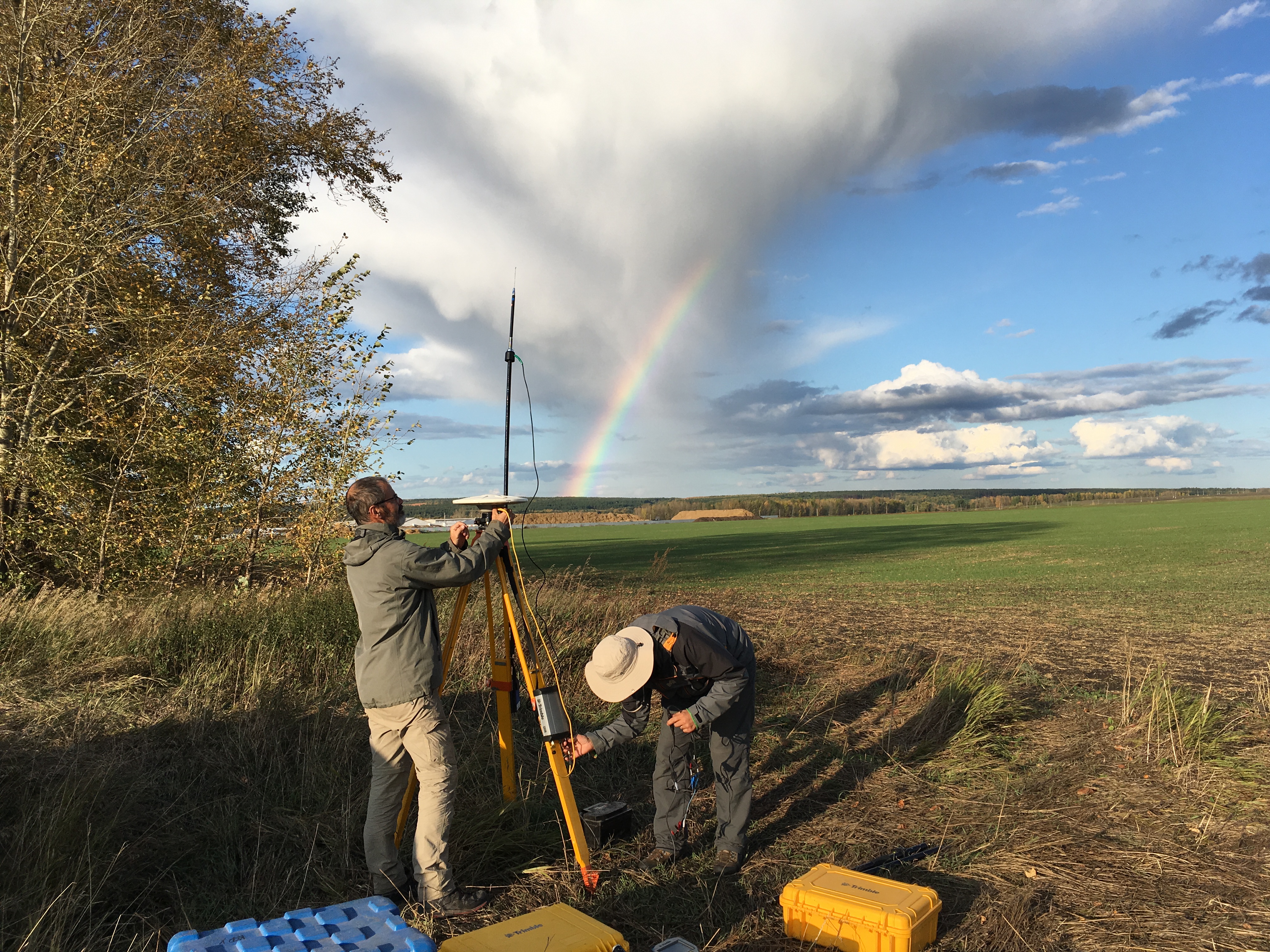
The GeoKarla dataset gathers geophysical and petrophysical data acquired over the Karla impact structure (Tatarstan, Russia). In September 2019, a field campaign on this eroded and buried structure was performed. Magnetic and gravity field observations were done, as well as geological mapping and sampling. Further petrophysical analyses in laboratory were performed on rock samples. All these data reveal - for the first time - a clear but unusual geophysical signature of the Karla impact structure. ==== acknowledgements ====== The associated research project was funded by: Russian Foundation for Basic Research RFBR grant no.18-55-5014 CNRS PRC French program Institutes/Participants: * Aix-Marseille Université, CNRS, IRD, INRAE, Aix-en-Provence, France Quesnel, Y., Rochette, P., Gattacceca, J., Uehara, M. * Institute of Geology and Petroleum Technologies, Kazan Federal University, 4/5 Kremlyovskaya Str., 420008, Kazan, Russia Bezaeva, N.S., Kuzina, D.M., Nasyrtdinov, B.M. * V.I. Vernadsky Institute of Geochemistry and Analytical Chemistry, Russian Academy of Scences, 19 Kosygin str., 119991 Moscow, Russia Bezaeva, N.S. , Badyukov, D.D. * Institute of Physics and Technology, Ural Federal University, 19 Mira Str., 620002 Ekaterinburg, Russia Bezaeva, N.S. Chareev, D.A. * Institute Experimental Mineralogy, Russian Academy of Science, 4 Academician Osipyan Str., 142432 Chernogolovka, Moscow Region, Russia Chareev, D.A. * National University of Science and Technology “MISiS”, 4 Leninsky Prospekt, 119049 Moscow, Russia Chareev, D.A. * Université de Montpellier, CNRS, Géosciences Montpellier, France Champollion, C.
-
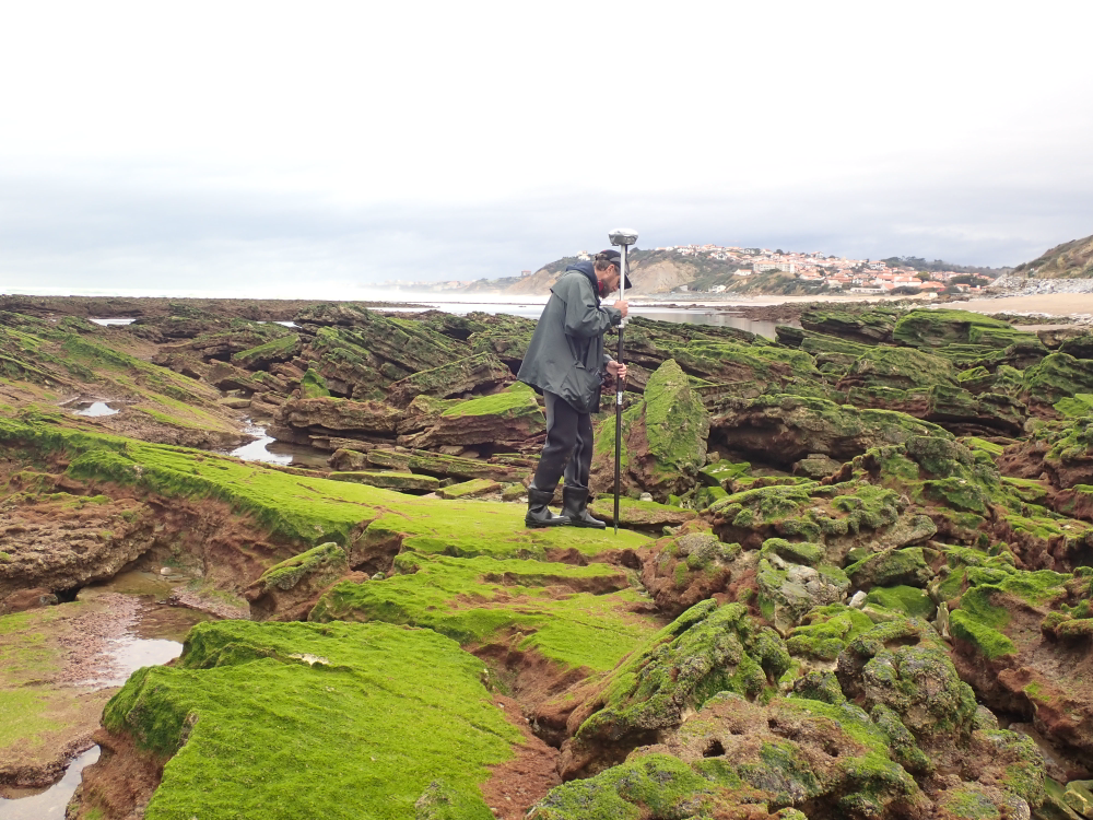
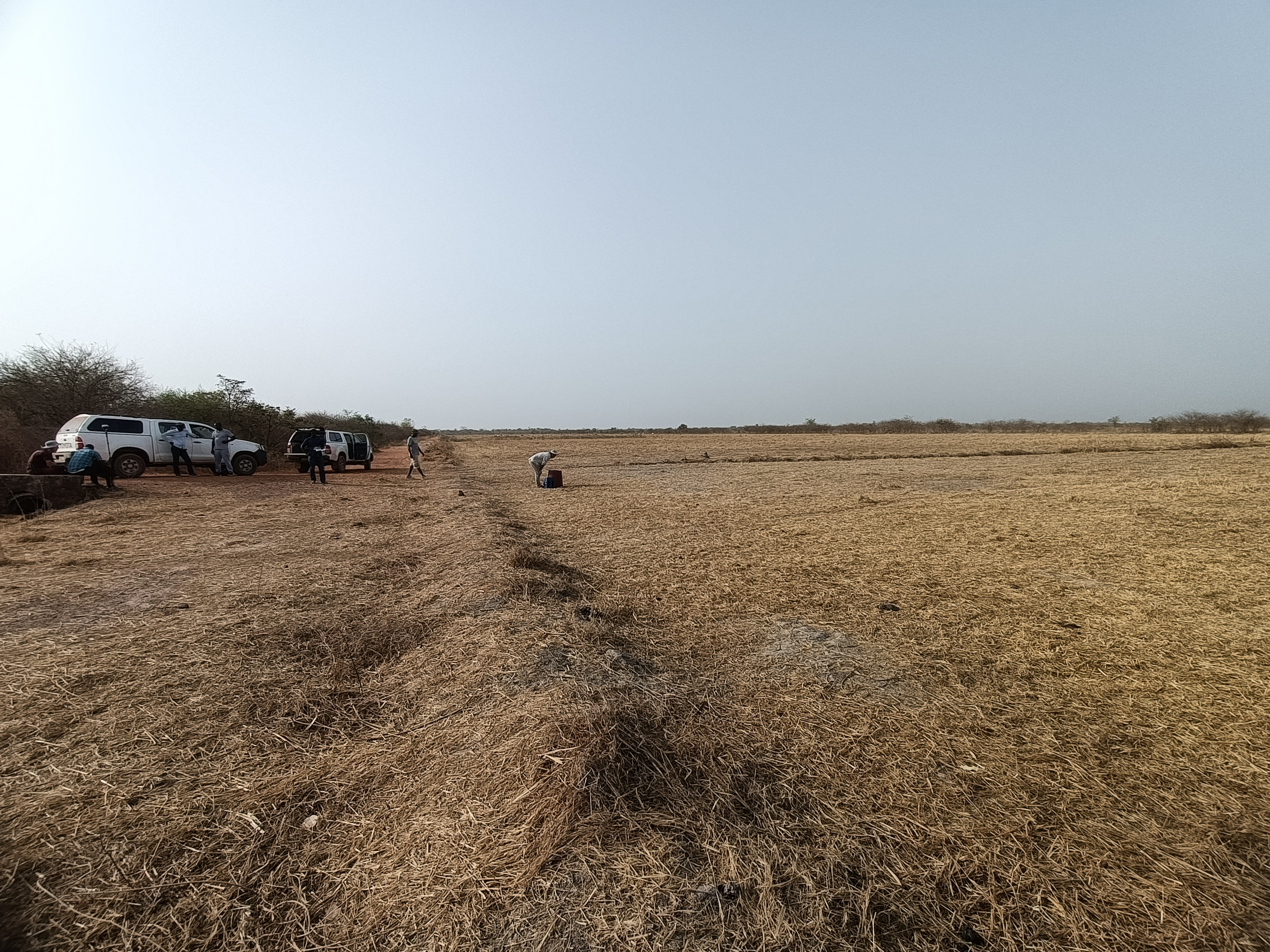
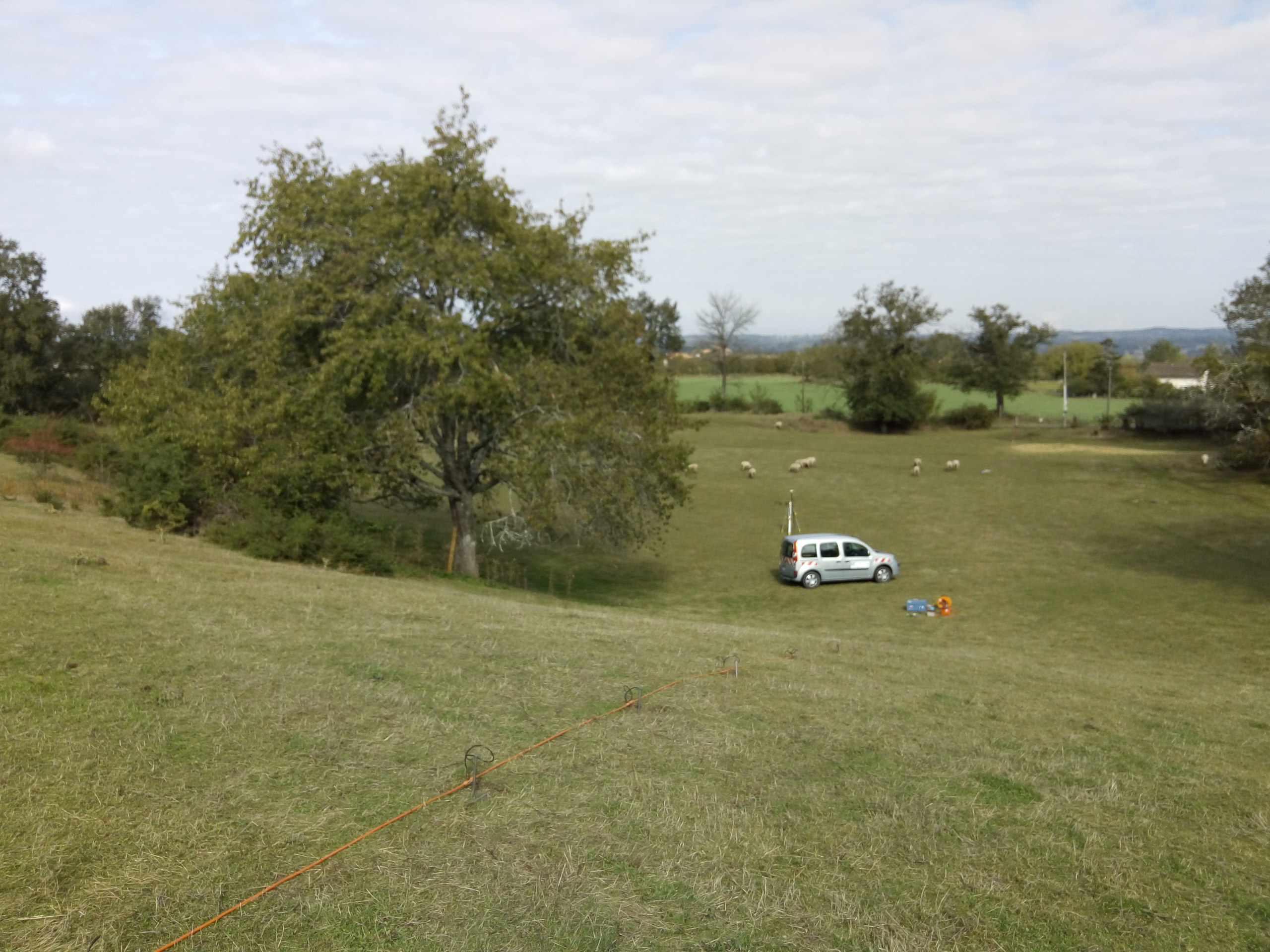
The present dataset is based on a nine site study of fine seabed topography in intertidal zones. Four coral sites (Maupiti A, B and C and Niau islands) and five rocky sites (Ars en Ré, Socoa, Parlementia A and B and Banneg island) have been explored. The data has been gathered using on-foot GNSS RTK for all sites (Trimble R8/R8S and Leica sytems) except Banneg island, where aerial Lidar data from Litto3D program has been used. The horizontal resolution varies between 3.8 and 12cm allowing to describe a wide range of spatial scales (generally over 3 spectral decades). The data has been processed to explore the statistical and spectral metrics which can be used to characterize the architectural complexity of seabeds. Owners: - Topographic survey on Ars-en-Ré : profile X, Z in meter along a transec was operated on 10-15 Jan 2021 with On-foot Trimble R8/R8S GNSS RTK by Shom, Gladys and Univ. de Montpellier - Topographic survey on Maupiti Hoe: profile X, Z in meter along a transec was operated on 5-10 July 2018 with on-foot Trimble R8/R8S GNSS RTK by GLADYS and Université de Montpellier - Topographic survey on Niau : profile X, Z in meter along a transec operated on 10 Nov. 2021 with On-foot Trimble R8/R8S GNSS RTK - by CEREGE and MIO (OSU Pytheas) - Topographic survey on Parlementia A, and B : profile X, Z in meter along a transec was operated on 22 Fev 2023 with on-foot Leica GNSS RTK by SIAME, UPPA - Topographic survey on Socoa : profile X, Z in meter along a transec was operated on 21 Fev 2023 with on-foot Leica GNSS RTK by SIAME, UPPA and Shom - Topographic survey in high resolution of Banneg island (X, Y, Z) is made by aerial lidar litto3D on spring 2012/2013 by Shom and IGN